Protecting kelp forest ecosystems from trawling

Our intern Saul is mapping vulnerable seaweed habitats off the Sussex Coast to protect them in the future
The problem
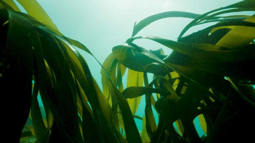
All along the West Sussex coastline, from Selsey to Camber Sands, there was once was an expansive habitat of large brown seaweeds known as ‘kelp forest’. Out of sight and out of mind, this kelp forest has dramatically declined its range over the last 40 years. Extreme weather events, combined with human influences like climate change, trawling, pollution and the dumping of sediment, have taken their toll.

This kelp forests are important for many reasons. Firstly, they act as a physical dampener to waves and storms, reducing their power and impact on shore. These forests are also a vital ecosystem. Kelp forests support a multitude of food webs and acting as a nursery for fish – including those of commercial value.
As a consequence of this huge decline, the Sussex Inshore Fisheries and Conservation Authority (IFCA) is carrying out an assessment of what forests remain. This is the start of a long-term monitoring programme, which – importantly – includes a proposal for a bylaw to ban nearshore trawling. Reducing fishing that using damaging methods such as trawling, will stop the damage continuing and give the forests a chance to recover. As part of this work, the IFCA has conducted video surveys of the region. This comprehensive footage includes all the information needed in order to establish a baseline map of the seafloor habitats to see how a potential inshore trawling ban will influence these habitats in the years ahead.
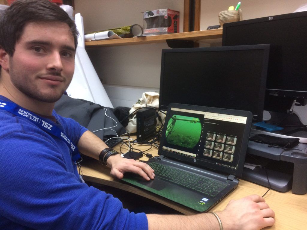
However, the coast is very long and taking video footage of the entire stretch under investigation means that a vast amount of film has been recorded. The IFCA does not have the capacity to analyse these videos themselves, so this is where PTES intern Saul Mallinson and his team step in.


The solution
PTES is providing funds to support intern Saul who will be analysing these video clips, as part of a joint project with the Natural History Museum and the Zoological Society of London. Saul will be using special software to document the species he sees in the footage. As each underwater section has various species mapped, Saul will then be able to classify different habitat, depending on what species are living there.

This data will then be combined with other habitat observations and aerial imagery from the Channel Coastal Observatory (CCO), to create a baseline map of seabed habitats along the West Sussex coastline.
This map will contribute to the plans which aim to change policies and reduce fishing pressures in the area. And they will also be used to measure future changes in the habitat distributions, hopefully showing a recovery of kelp forests and increased diversity in fish species making their home in them.
There is world-wide concern about the loss of kelp forests and growing recognition of their critical importance as coastal habitats, not least in Britain. Saul aims to help turn around the fate of these forests – no longer out of sight or mind.
This project is possible thanks to our generous donors. Can you help us continue?
