
Who we are
We’ve been standing up for wildlife for over 40 years. With the help of scientists, conservationists, landowners, and the general public, we’re working to protect our delicately balanced ecosystem by bringing our most threatened species back from the brink.
Where we work
Funded by our generous supporters, our grant programmes support the very best scientific researchers and wildlife experts out in the field. The evidence they unearth guides worldwide conservation. Browse the map below to discover the amazing wildlife we’re saving from extinction.
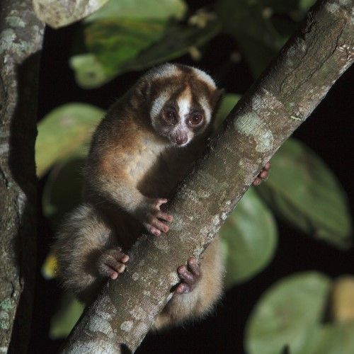
Protecting slow lorises
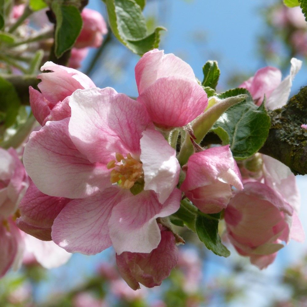
Orchard Blossom Day
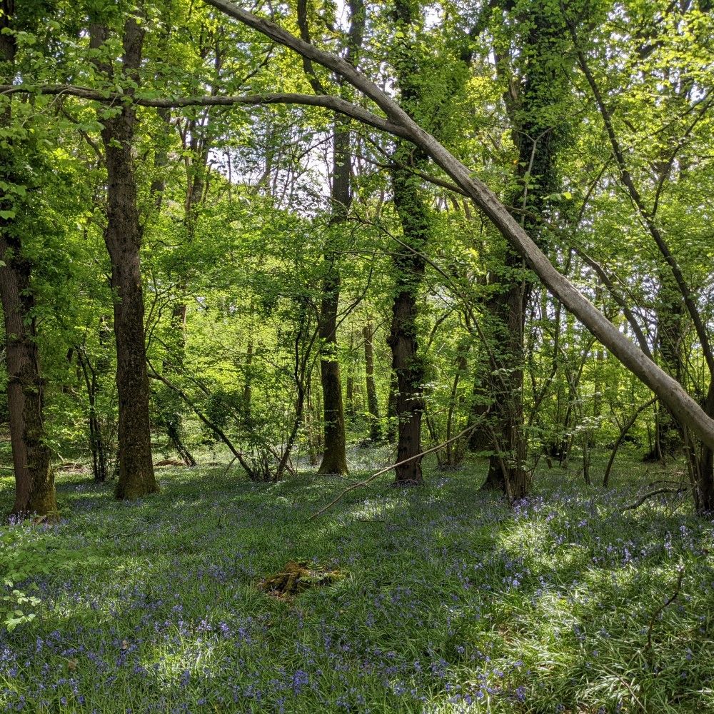
Protecting ancient woodlands
Latest news from PTES
Planting and restoring 45,000 miles of Britain’s hedgerows
We will plant 45,000 miles. Not a follow up song by the Proclaimers, but an ambitious target set by Defra to plant and restore 45,000 miles of hedgerow by 2050. An opportunity to design It’s been a long time since we’ve planted hedges at any sort of scale. In fact, most of the hedges we …
Cheek by jowl: living alongside our wild neighbours
The first mammals made an appearance around the start of the dinosaurs’ heyday, 200 million years ago. Then (as now), most dinosaurs were diurnal (active during the day) and keeping out from under their feet was probably a smart move. So, mammals adopted an alternative lifestyle, busying themselves at night. Goats town For a lot …
Searching for Asian giant tortoises
Sushmita Kar, one of our conservation insight grant winners at the Turtle Survival Alliance, talks to us about her recent field work expedition in Nagaland, India, searching for released Asian giant tortoises. Why are we looking for Asian giant tortoises? Asian giant tortoises are mainland Asia’s largest tortoise and the 6th largest in the world! …